Butler Gulch Trail Hike---Total Mileage approx. 5.2 miles
Elevation Gain 1,370 feet. Out and Back. Highest Elevation: 11,950
Elevation Gain 1,370 feet. Out and Back. Highest Elevation: 11,950
 Directions to the hike: From I-70 take Exit 232 or US40. Follow US40 through Empire to the Big Bend Picnic area. Follow the sign for Jones Pass/Henderson Mine where you will be turning right at CO Rd 202 or Henderson Mine Rd/Jones Pass Rd. Follow this road and bear right at the Henderson Mine (This right feels like it is not a road but more of a parking lot, but it is a road). Follow this dirt road until you hit a parking lot on your Left. You will walk along the road for a while, passing a gate. You will see a sign that says "Butler Gulch Hike" with an arrow. Follow the sign.
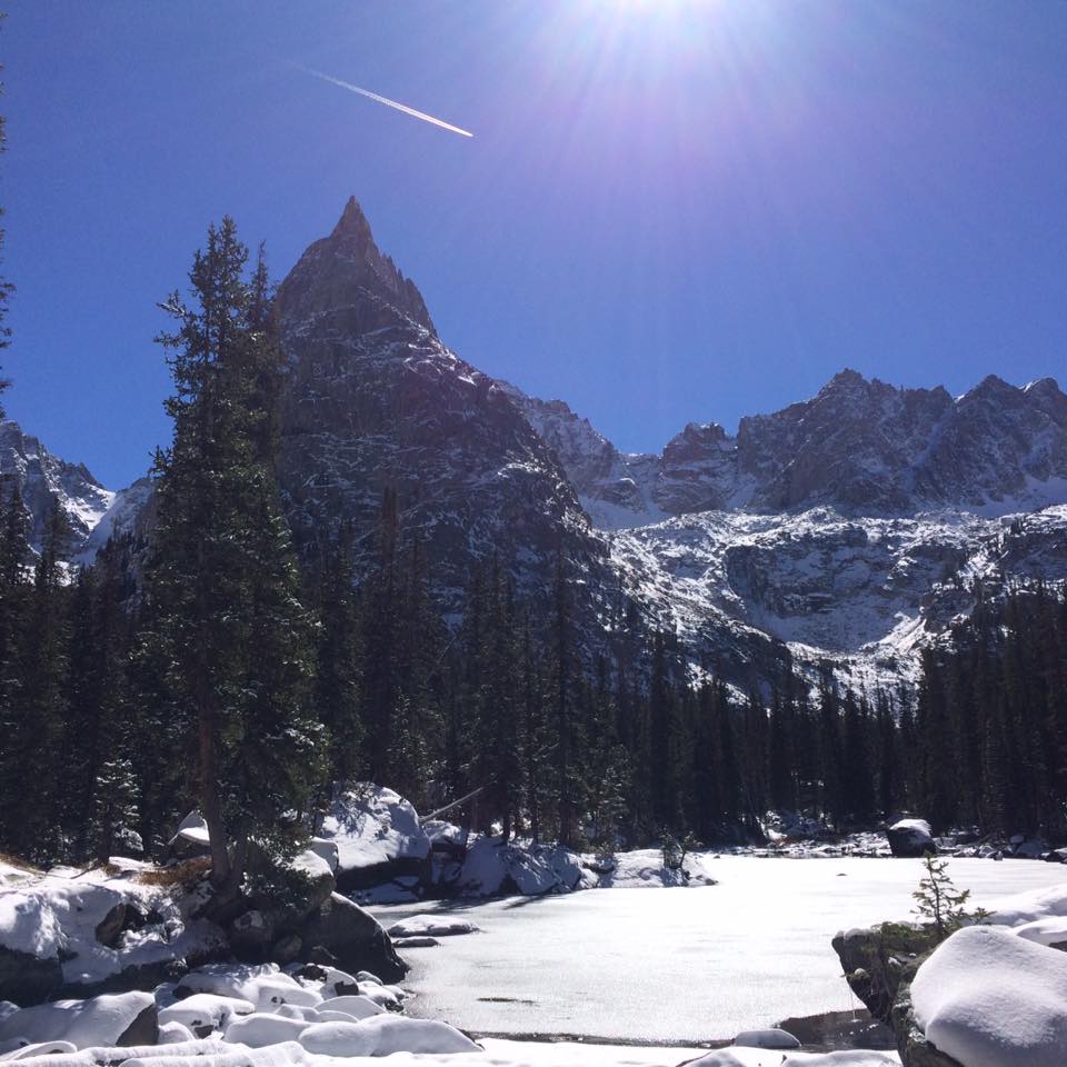
The Good: Sometimes due to treacherous roads or avalanche dangers during winter conditions, I sacrifice the Alpine, above treeline hikes for more subdued local hikes that I know very well. This year I plan to broaden my horizons with hikes like this one. The road to the trail is very accessible with just a short jaunt on a slippery but not dangerous snowy dirt road (1/4 of a mile). The Butler Gulch Hike takes you through a beautiful pine forest where the sun peers through and begs for pictures. Be aware that many cross country skiers are using the trail. At times, I was caught by surprise with an occasional skier whipping around a corner.
The Bad: On the first ten minutes of the hike, you will have to do your best to ignore sounds from the nearby mine. However, after about a mile into the hike, you will have the sound of silence that only snow covered grounds can provide. Hiking out is a constant ascent. My legs became weary after a couple of miles. Hiking through snow is a new kind of conditioning that I'm not used to with our late summer temps.
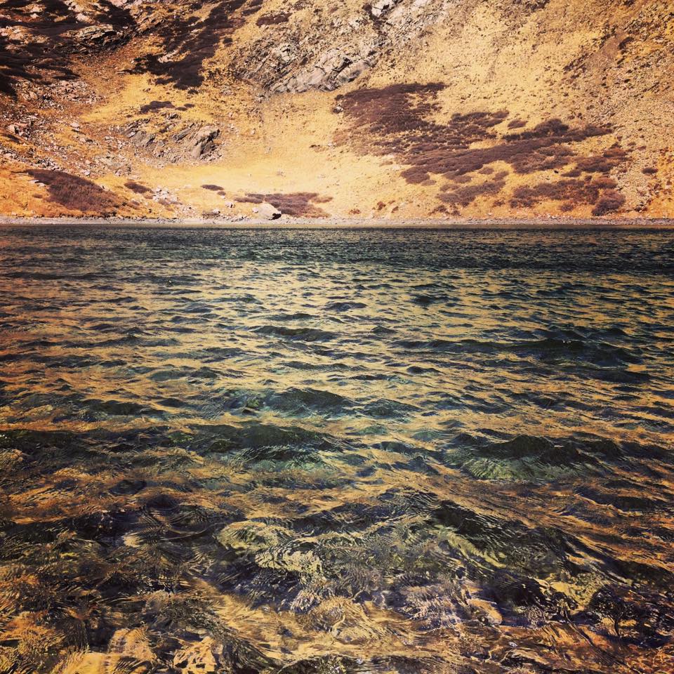
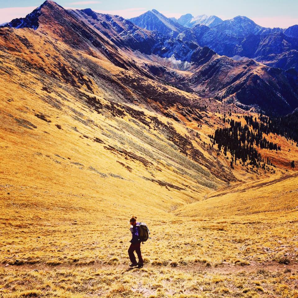
The Beautiful: Once you leave the forest, the hike takes you to an incredible alpine playground with surrounding peaks that leave you in awe. The hike opens up to the Continental Divide which makes the entire trek up hill through the forest worth it. Because of the snowy conditions, the trail ends before taking us to the final bowl. We feel that we saw it from a distance but it is hard to tell if that was it. We were also told that we would see a mine at the end but we couldn't find that either. I think it would be fun to try again in the summer months. We had a blast post-holing through the open valley while admiring the beautiful mountains around us. I highly recommend this as a snow-shoe hike in the Winter.